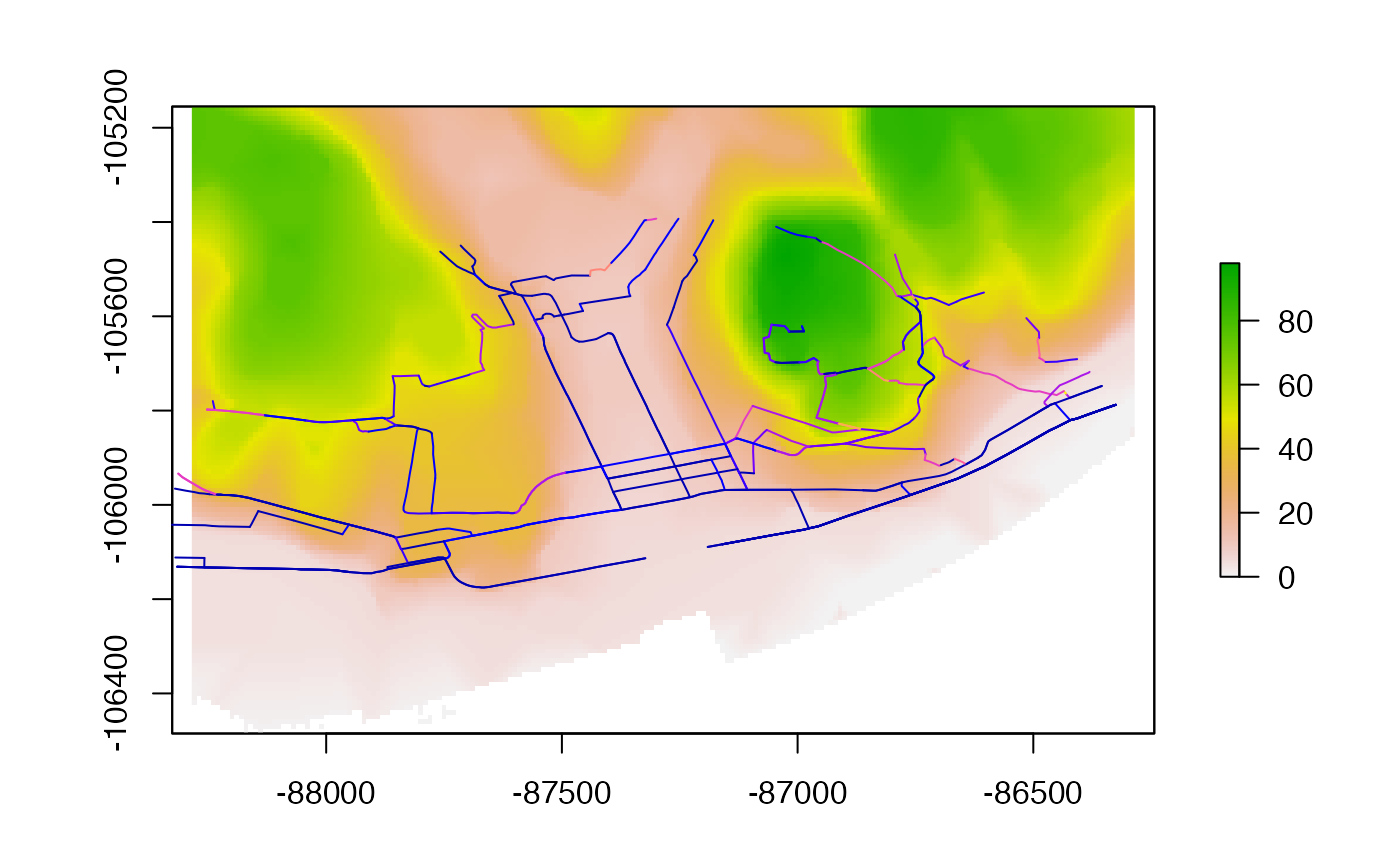
A dataset containing elevation in and around Lisbon with a geographic resolution of 10m. The dataset is 200 pixels wide by 133 pixels high, covering 2.7 square kilometres of central Lisbon.
dem_lisbon_raster
Format
A raster dataset containing elevation above sea level in a 1km bounding box in Lisbon, Portugal.
Source
https://github.com/rspatial/terra/issues/29
Details
The dataset was acquired by Instituto Superior Técnico (University of Lisbon) in 2012, covers all the Northern Metropolitan Area of Lisbon, and has a 10m cell resolution, when projected at the official Portuguese EPSG: 3763 - TM06/ETRS89. The dataset was released as an open access dataset with permission from the University of Lisbon to support this project.
Examples
#>#> [1] 133 200 1#> [1] 10 10#> [1] "r1"