Writes spatial raster values into tibble and adds coordinates.
util_raster2tibble(x, format = "long")

util_raster2tibble(x, format = "long")
Arguments
| x | Raster* object |
|---|---|
| format | Either "long" (default) or "wide" output for the resulting tibble |
Value
a tibble
Details
You will loose any resolution, extent or reference system. The output is raw tiles.
Examples
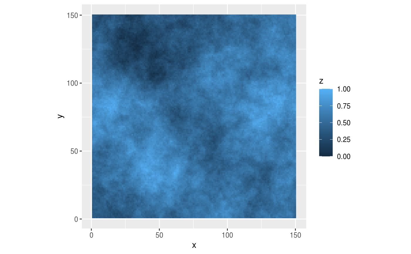
maptib <- util_raster2tibble(fractal_landscape)
# \dontrun{
library(ggplot2)
ggplot(maptib, aes(x,y)) +
    coord_fixed() +
    geom_raster(aes(fill = z))# }