lawn is an R wrapper for the Javascript library turf.js for advanced geospatial analysis. In addition, we have a few functions to interface with the geojson-random Javascript library.
lawn includes traditional spatial operations, helper functions for creating GeoJSON data, and data classification and statistics tools.
There is an additional helper function (see view()) in this package to help visualize data with interactive maps via the leaflet package (https://github.com/rstudio/leaflet). Note that leaflet is not required to install lawn - it’s in Suggests, not Imports or Depends.
## Installation
If installing `leaflet`
```r
devtools::install_github("rstudio/leaflet")
```
Stable `lawn` version from CRAN
```r
install.packages("lawn")
```
Or, the development version from Github
```r
devtools::install_github("ropensci/lawn")
```
```r
library("lawn")
```
## Usage
### Make some geojson data
Point
```r
lawn_point(c(-74.5, 40))
#>
#> Bounding box: -74.5 40.0 -74.5 40.0
#> Coordinates: -74.5 40.0
#> Properties: NULL
```
Polygon
```r
rings <- list(list(
c(-2.275543, 53.464547),
c(-2.275543, 53.489271),
c(-2.215118, 53.489271),
c(-2.215118, 53.464547),
c(-2.275543, 53.464547)
))
lawn_polygon(rings)
#>
#> Bounding box: -2.3 53.5 -2.2 53.5
#> No. points: 5
#> Properties: NULL
```
### count
Count number of points within polygons
```r
lawn_count(polygons = lawn_data$polygons_count, points = lawn_data$points_count)
#>
#> Bounding box: -112.1 46.6 -112.0 46.6
#> No. features: 2
#> No. points: 20
#> Properties: NULL
```
### average
Average value of a field for a set of points within a set of polygons
```r
lawn_average(polygons = lawn_data$polygons_average,
points = lawn_data$points_average,
field = 'population')
#>
#> Bounding box: 10.7 59.9 10.9 59.9
#> No. features: 2
#> No. points: 20
#> Properties: NULL
```
### distance
Define two points
```r
from <- '{
"type": "Feature",
"properties": {},
"geometry": {
"type": "Point",
"coordinates": [-75.343, 39.984]
}
}'
to <- '{
"type": "Feature",
"properties": {},
"geometry": {
"type": "Point",
"coordinates": [-75.534, 39.123]
}
}'
```
Calculate distance, default units is kilometers (default output: `km`)
```r
lawn_distance(from, to)
#> [1] 97.15958
```
### random set of points
```r
lawn_random(n = 2)
#>
#> Bounding box: -143.7 -70.6 178.1 16.5
#> No. features: 2
#> No. points: 4
#> Properties: NULL
```
```r
lawn_random(n = 5)
#>
#> Bounding box: -114.0 -89.5 54.5 -21.1
#> No. features: 5
#> No. points: 10
#> Properties: NULL
```
### random features with geojson-random
Positions
```r
gr_position()
#> [1] -114.45746 55.92978
```
Points
```r
gr_point(2)
#>
#> Bounding box: -106.3 -27.0 30.5 41.6
#> No. features: 2
#> No. points: 4
#> Properties: NULL
```
Polygons
```r
gr_polygon(n = 1, vertices = 5, max_radial_length = 5)
#>
#> Bounding box: -148.7 25.9 -141.9 28.9
#> No. features: 1
#> No. points: 12
#> Properties: NULL
```
### sample from a FeatureCollection
```r
dat <- lawn_data$points_average
lawn_sample(dat, 1)
#>
#> Bounding box: 10.7 59.9 10.7 59.9
#> No. features: 1
#> No. points: 2
#> Properties: NULL
```
```r
lawn_sample(dat, 2)
#>
#> Bounding box: 10.7 59.9 10.7 59.9
#> No. features: 2
#> No. points: 4
#> Properties: NULL
```
```r
lawn_sample(dat, 3)
#>
#> Bounding box: 10.7 59.9 10.8 59.9
#> No. features: 3
#> No. points: 6
#> Properties: NULL
```
### extent
```r
lawn_extent(lawn_data$points_average)
#> [1] 10.71579 59.90478 10.80643 59.93162
```
### within
```r
lawn_within(lawn_data$points_within, lawn_data$polygons_within)
#>
#> Bounding box: -46.6 -23.6 -46.6 -23.6
#> No. features: 2
#> No. points: 4
#> Properties: NULL
```
### buffer
```r
dat <- '{
"type": "Feature",
"properties": {},
"geometry": {
"type": "Polygon",
"coordinates": [[
[-112.072391,46.586591],
[-112.072391,46.61761],
[-112.028102,46.61761],
[-112.028102,46.586591],
[-112.072391,46.586591]
]]
}
}'
lawn_buffer(dat, 1, "miles")
#>
#> Bounding box: -112.1 46.6 -112.0 46.6
#> No. features: 1
#> No. points: 74
#> Properties: NULL
```
### lint input geojson
For most functions, you can lint your input geojson data to make sure it is proper geojson. We use
the javascript library geojsonhint. See the `lint` parameter where available.
Good GeoJSON
```r
dat <- '{
"type": "FeatureCollection",
"features": [
{
"type": "Feature",
"properties": {
"population": 200
},
"geometry": {
"type": "Point",
"coordinates": [10.724029, 59.926807]
}
},
{
"type": "Feature",
"properties": {
"population": 600
},
"geometry": {
"type": "Point",
"coordinates": [10.715789, 59.904778]
}
}
]
}'
lawn_extent(dat)
#> [1] 10.71579 59.90478 10.72403 59.92681
```
Bad GeoJSON
```r
dat <- '{
"type": "FeatureCollection",
"features": [
{
"type": "Feature",
"properties": {
"population": 200
},
"geometry": {
"type": "Point"
}
},
{
"type": "Feature",
"properties": {
"population": 600
},
"geometry": {
"type": "Point",
"coordinates": [10.715789, 59.904778]
}
}
]
}'
lawn_extent(dat, lint = TRUE)
#> Error: Line 1 - "coordinates" property required
```
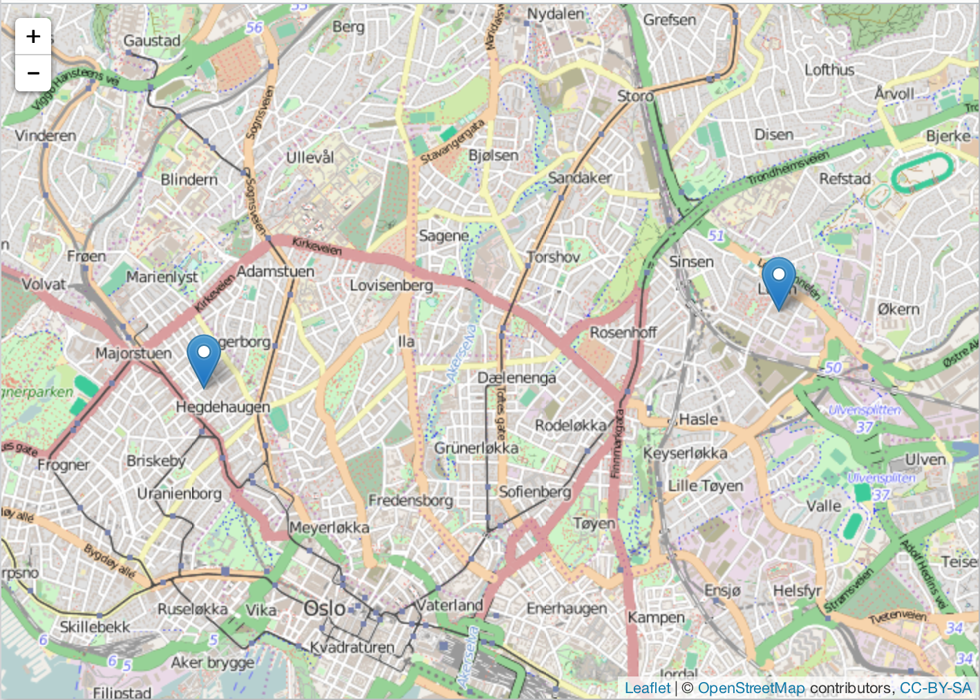
### view
`lawn` includes a tiny helper function for visualizing geojson.
```r
view(lawn_data$points_average)
```
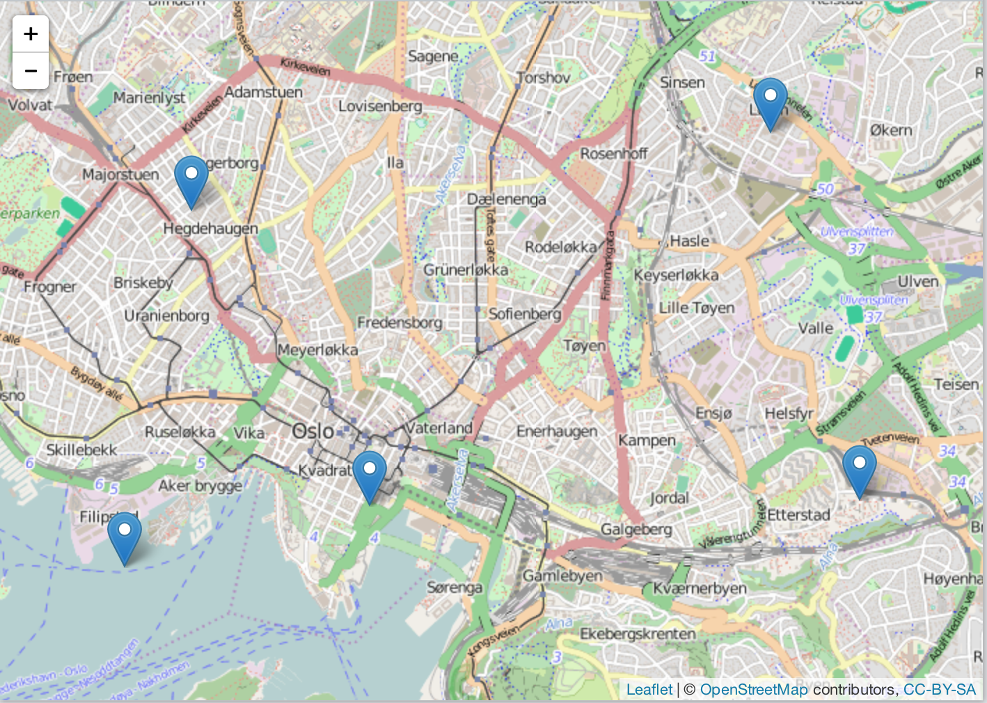
Here, we sample at random two points from the same dataset just viewed.
```r
lawn_sample(lawn_data$points_average, 2) %>% view()
```
## Citing
To cite `lawn` in publications use:
> Scott Chamberlain and Jeff Hollister (2016). lawn: R Client for Turf.js for Geospatial
Analysis. R package version 0.1.7. https://github.com/ropensci/lawn
## License and bugs
* License: [MIT](http://opensource.org/licenses/MIT)
* Report bugs at [our Github repo for lawn](https://github.com/ropensci/lawn/issues?state=open)
[Back to top](#top)
